

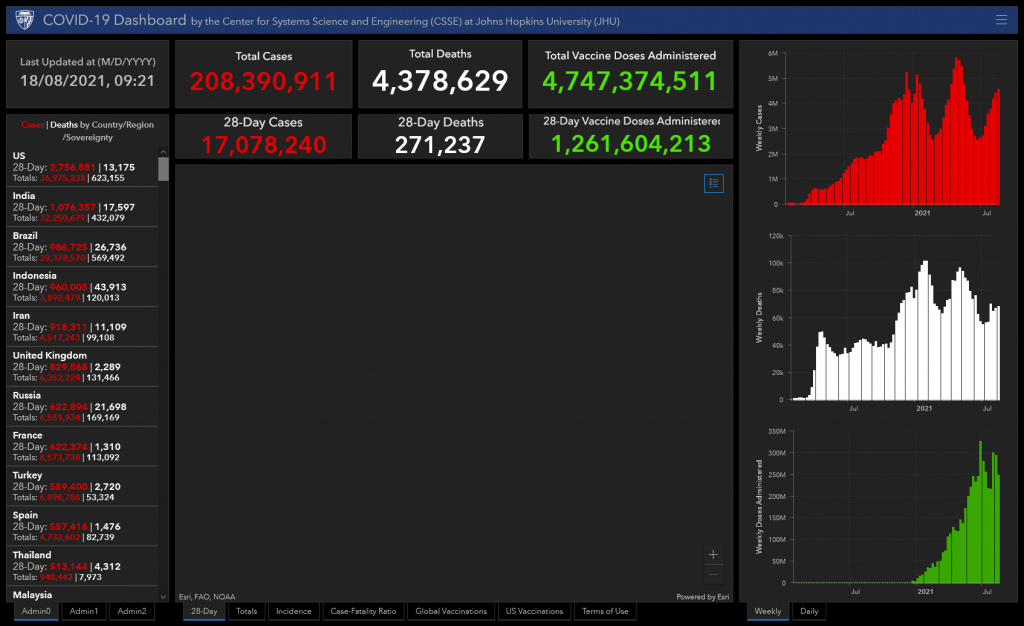
In response to this ongoing public health emergency, we developed an interactive web-based dashboard (static snapshot shown above) hosted by the Center for Systems Science and Engineering (CSSE) at Johns Hopkins University, to visualize and track reported cases in real-time. The dashboard, first shared publicly on January 22, illustrates the location and number of confirmed COVID-19 cases, deaths and recoveries for all affected countries. It was developed to provide researchers, public health authorities and the general public with a user-friendly tool to track the outbreak as it unfolds. Further, all the data collected and displayed is made freely available, initially as google sheets, now in a GitHub repository, along with the feature layers of the dashboard, which are now included in the ESRI Living Atlas.
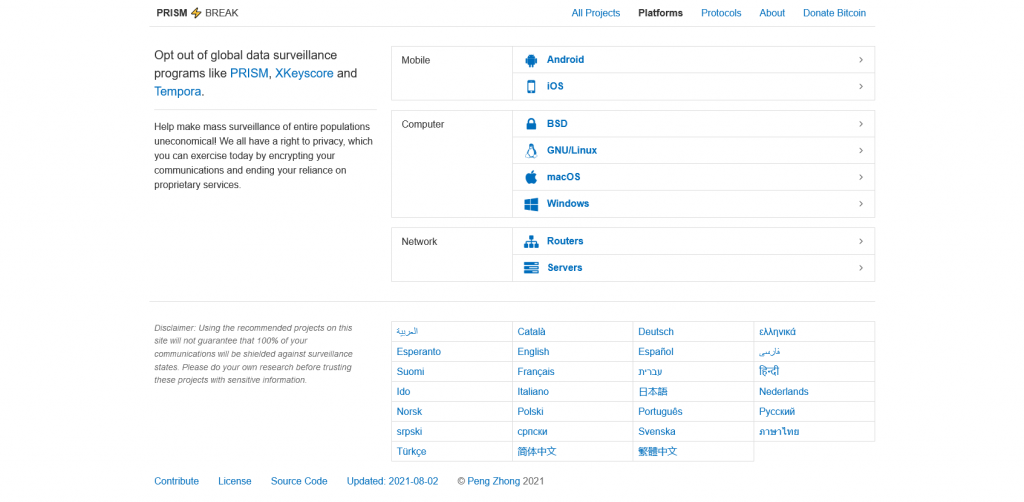
Opt out of global data surveillance programs
Opt out of global data surveillance programs like PRISM, XKeyscore and Tempora. Help make mass surveillance of entire populations uneconomical! We all have a right to privacy, which you can exercise today by encrypting your communications and ending your reliance on proprietary services.
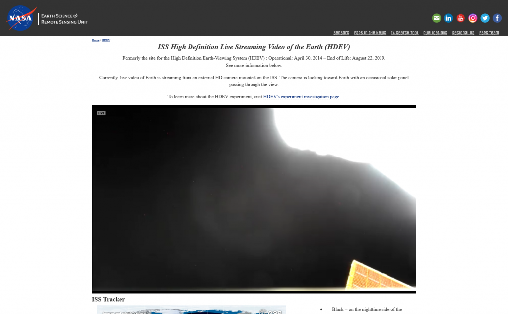
ISS High Definition Live Streaming Video of the Earth (HDEV)
The High Definition Earth Viewing (HDEV) experiment places four commercially available HD cameras on the exterior of the space station and uses them to stream live video of Earth for viewing online. The cameras are enclosed in a temperature specific housing and are exposed to the harsh radiation of space. Analysis of the effect of space on the video quality, over the time HDEV is operational, may help engineers decide which cameras are the best types to use on future missions. High school students helped design some of the cameras’ components, through the High Schools United with NASA to Create Hardware (HUNCH) program, and student teams operate the experiment.
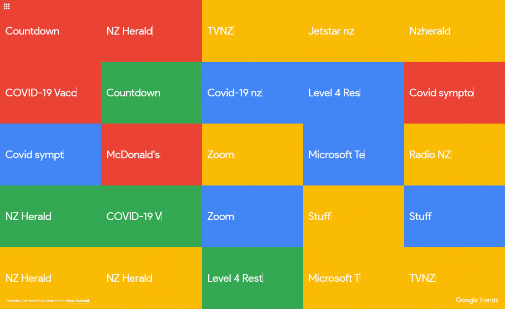
Explore what the world is searching
Explore what the world is searching
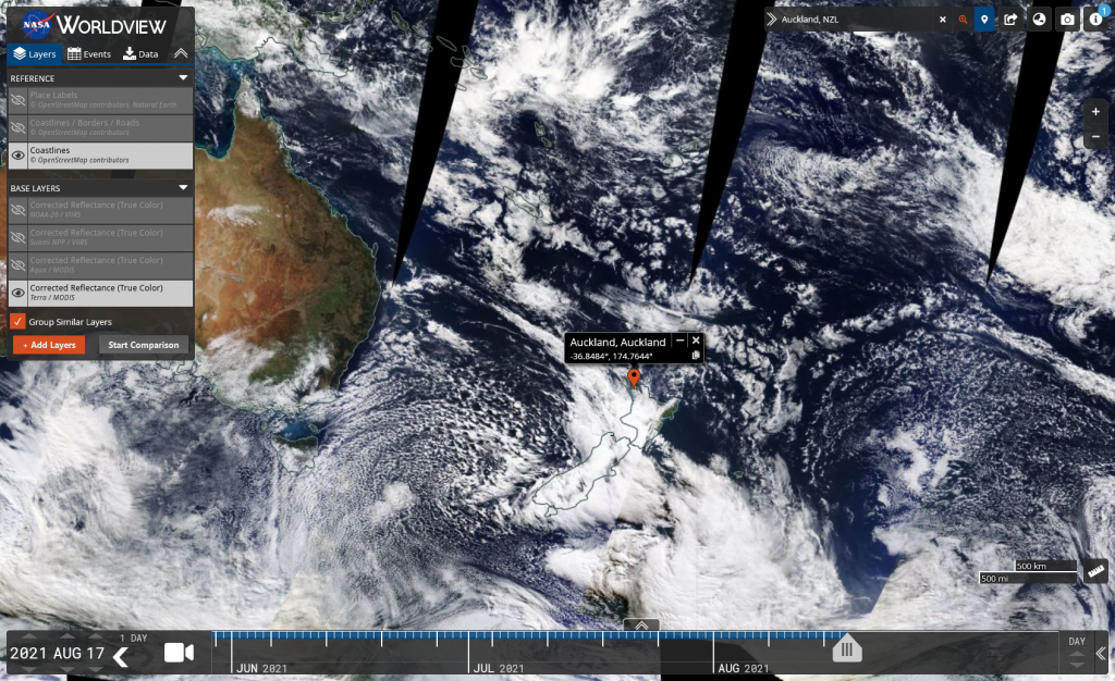
This app from NASA’s EOSDIS provides the capability to interactively browse over 900 global, full-resolution satellite imagery layers and then download the underlying data. Many of the imagery layers are updated daily and are available within three hours of observation – essentially showing the entire Earth as it looks “right now”. This supports time-critical application areas such as wildfire management, air quality measurements, and flood monitoring. Arctic and Antarctic views of many products are also available for a “full globe” perspective. Geostationary imagery layers are also now available. These are provided in ten minute increments for the last 30 days. These full disk hemispheric views allow for almost real-time viewing of changes occurring around most of the world. Browsing on tablet and smartphone devices is generally supported for mobile access to the imager